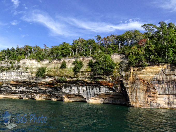
The weather for the last weekend of August was great for outdoor activities, like a boat ride on Lake Superior near the Pictured Rocks National Lakeshore.
Boating Near Pictured Rocks
Created during the retreat of glacial ice, Lake Superior is a geological newcomer at about 10,00 years old. But the average drop of water entering the lake remains for 191 years, which is the longest retention time of the Great Lakes. The other Great Lakes are less than a hundred years with Lake Erie at only 2.6 years and Lake St. Claire averages only 7 days.
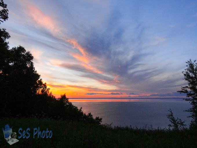
Sunrise on Old Water
The average depth of Lake Superior is 483 feet with the maximum depth of 1,333 feet. And while the surface temperature during the summer may be warm enough for a refreshing swim, the average temperature is forty degrees. Seiches, which mask Lake Superior’s tiny tide, are caused by wind or pressure piling water to one side and when the wind or pressure change stops pushing, the water returns and the water sloshes back and forth until it is level again. The seiches can change shore water levels by more than 3 feet.
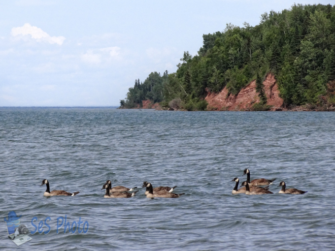
Lots of Chilly Water
Lake Superior has more than 200 rivers flowing into it and its watershed ranges from 160 miles inland near the Lake Nipigon area of Ontario to only 5 miles inland by the Pictured Rocks National Seashore in Michigan. And one river in that narrow watershed area is Spray Creek and it plunges over the cliffs at Pictured Rocks and lands directly into Lake Superior seventy feet below.
Spray Falls
In addition to the miles of shoreline around the edge of Lake Superior, one report lists 2,591 islands and additional 1,533 miles of island coastline. One of those islands is Hermit Island, named after a hermit who lived on the island in the 1840s until his apparent murder in 1861. The island was home to a number of brownstone quarries from 1860s until the 1890s. This rock formation on the shore of Hermit Island was an arch at one time before it collapsed.
Arch No More